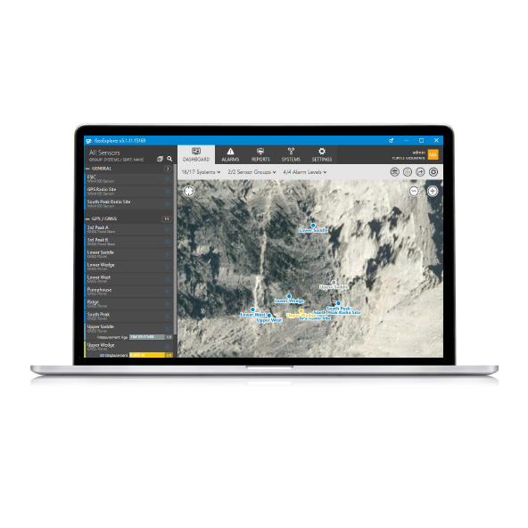
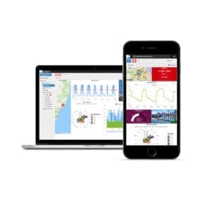
NavStar GeoExplorer Software plays a crucial role in the operation of a slope monitoring system. NavStar’s GeoExplorer software is intuitive and user friendly. It has been designed to scale from large multi site enterprise installations to small civil projects.
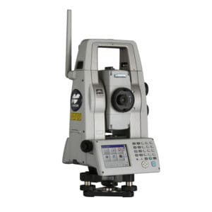
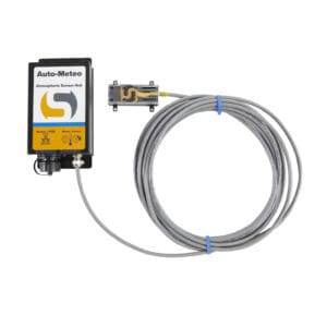
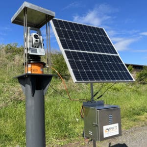
GeoExplorer can handle thousands of sensors without breaking a sweat. With careful focus on the overall architecture, we were able to engineer a solution that meets exacting performance standards. Capabilities include full control of total station systems, integrated GNSS processing and a wide variety of other tasks thereby eliminating the need for separate software packages.
Service Features
Full control of total station systems
Integrated GNSS processing and a wide variety of other tasks thereby eliminating the need for separate software packages